Understanding Low-Pressure Systems: What They Are and Why They Matter
Ever wonder why the sky suddenly gets dark and you hear thunder after a sunny morning? Most of the time it’s a low-pressure system moving in. In plain talk, a low-pressure system is an area where the air near the ground is lighter than the surrounding air, causing it to rise. When air rises, it cools, and the moisture it carries turns into clouds and rain. This simple process can decide whether you carry an umbrella or enjoy a clear day.
What Is a Low-Pressure System?
A low-pressure system, sometimes called a cyclone in the northern hemisphere, forms when warm air near the surface heats up and starts to rise. As the warm air lifts, cooler air rushes in to replace it, creating a cycle that pulls more warm air upward. This upward motion makes the air expand and cool, which leads to condensation – the first step toward cloud formation.
Because the pressure at the surface is lower than in surrounding areas, winds spiral inward toward the center of the system. In the northern hemisphere, these winds turn counter‑clockwise; in the southern hemisphere, they turn clockwise. The stronger the pressure difference, the stronger the winds you’ll feel.
How Low-Pressure Systems Affect Daily Weather
When a low sits over your region, you can expect a few things:
- Clouds and rain: The rising air creates clouds, and if there’s enough moisture, you’ll see showers or thunderstorms.
- Windy conditions: The pressure gradient drives wind, which can reach gusty levels, especially near the edges of the system.
- Temperature changes: Warm air is often drawn in, so you might feel a quick rise in temperature before the rain cools things down.
- Storm potential: If the low is strong and moves fast, it can bring severe weather like heavy downpours, hail, or even tornadoes.
For anyone planning an outdoor event, checking whether a low-pressure system is on the forecast can save you a lot of hassle. A quick glance at a weather map will show you the blue‑colored areas (low pressure) and the red‑colored ones (high pressure). When the blue area moves close, start thinking about rain gear and maybe a backup indoor plan.
Low-pressure systems also play a big role in seasonal weather patterns. In monsoon regions, a series of lows can bring the needed rain for crops. Conversely, during the dry season, fewer lows mean clearer skies. Understanding these patterns can help farmers, sailors, and even city planners prepare for water supply or flood risks.
So, next time you hear the weather report mention a “deepening low” or “falling pressure,” you’ll know it’s not just jargon. It’s a signal that the atmosphere is doing its lift‑and‑condense routine, and you might want to adjust your day accordingly.
Bottom line: low-pressure systems are the engines behind most of our wet and windy weather. Spotting them early gives you a chance to plan ahead, stay safe, and maybe even enjoy the dramatic skies they bring.
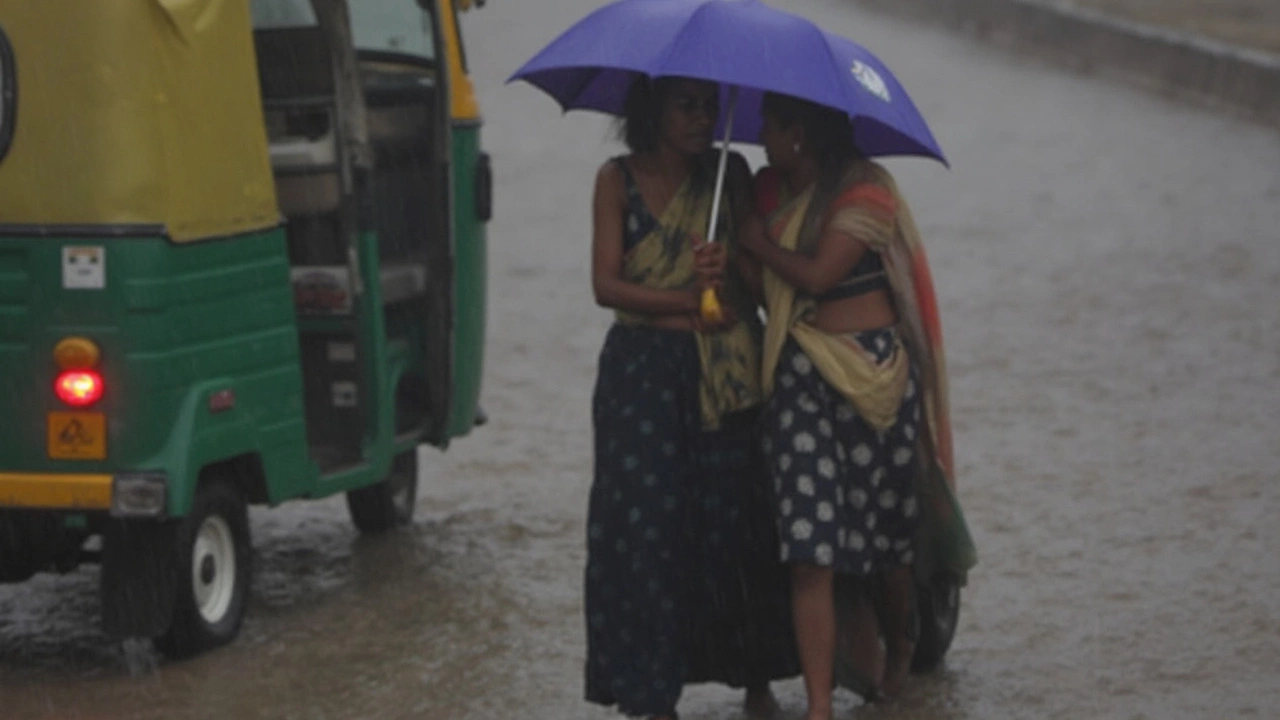
Heavy Rainfall Alert: IMD Flags Low-Pressure System Impacting Uttar Pradesh, Bihar, and More
The IMD has sounded heavy rainfall alerts for several states including Uttar Pradesh, Bihar, and Jharkhand due to a new low-pressure system. South Jharkhand faces risk of extreme rain, while red alerts are in force for West Bengal and Odisha. Severe weather, thunderstorms, and possible flash floods threaten affected regions.
VIEW MORE