Heavy Rainfall Alert: IMD Flags Low-Pressure System Impacting Uttar Pradesh, Bihar, and More
Widespread Heavy Rainfall as Low-Pressure System Hits North and East India
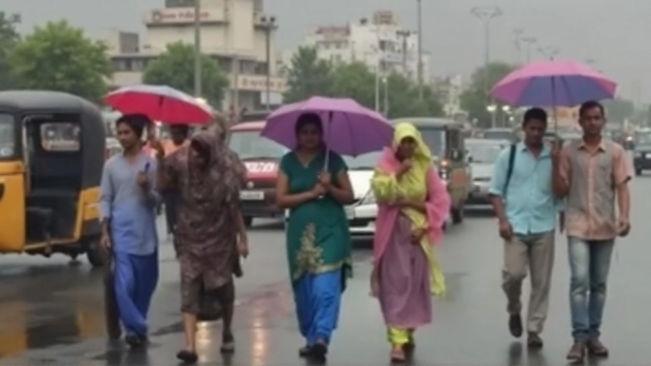
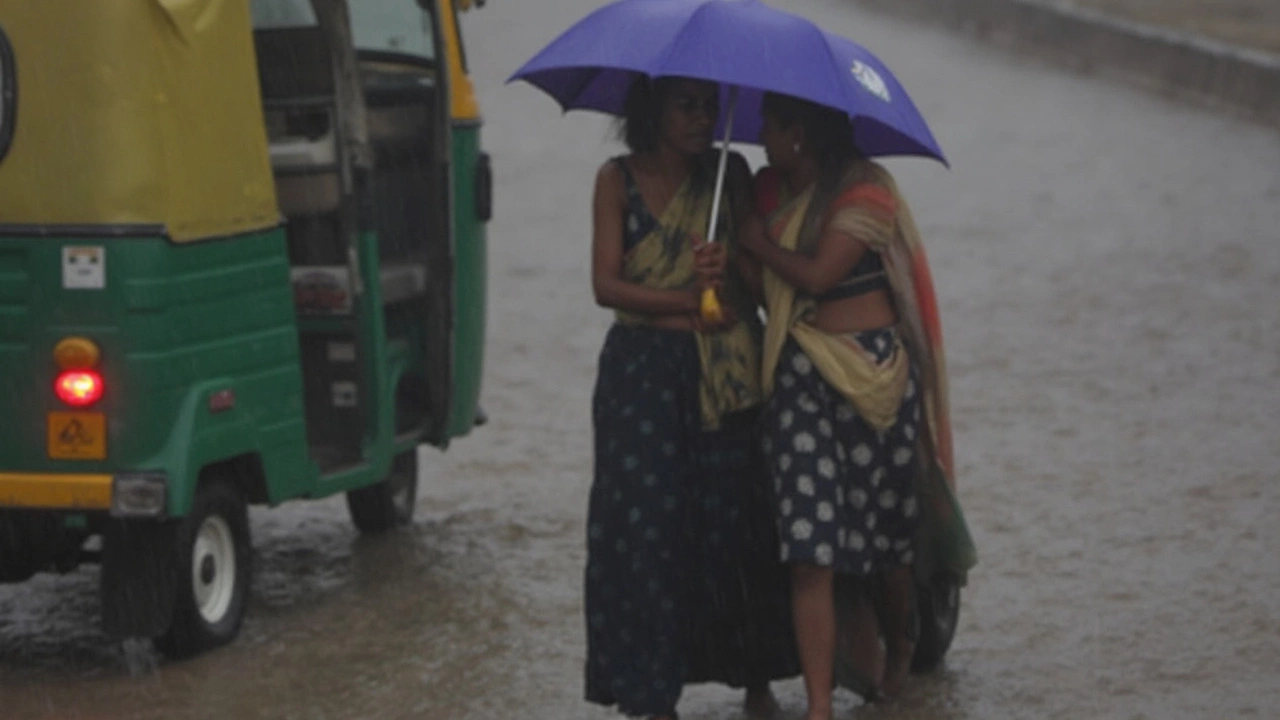
When rain warnings turn into red alerts, you know it’s not just about carrying an umbrella. A new low-pressure system brewing in the region has got India’s Meteorological Department (IMD) putting half the map on high alert—especially across Uttar Pradesh, Bihar, Jharkhand, West Bengal, and Odisha. If you live in eastern or northern India, this week you’re looking at a stormy ride.
Let’s talk specifics. From September 15, South Jharkhand can expect localized downpours so intense they’ve been tagged as ‘extremely heavy rainfall’. Chhattisgarh and East Madhya Pradesh face a drenching between September 15 and 17, while West Madhya Pradesh gets pounded from the 17th to 18th. Red alerts—meaning the highest level of weather warning—are active in West Bengal and Odisha, making residents brace for the kind of rainfall that can bring life to a halt. Orange alerts, the next most serious, stretch across Bihar, both Madhya Pradesh zones, and the northeastern states of Nagaland, Manipur, Mizoram, and Tripura.
The bulletins aren’t for show. Besides the rain, there’s the threat of thunderstorms, flashy lightning, and gusty winds swirling at 30-40 kmph. Bihar and East Uttar Pradesh are expected to see gusty winds and wild weather, putting extra stress on already soaked infrastructure. The IMD says thunderstorms could knock out power lines, upend travel plans, and mess with daily routines—so if you’re out and about, precaution is more than just common sense right now.
Flooding Risks Rise—Flash Flood Warnings Issued for the Hills
While the plains face a wall of water, the hills aren’t off the hook. Flash flood alerts are flashing in Himachal Pradesh, especially for the Shimla and Sirmour districts. The culprit? A deepening depression over northwest Uttar Pradesh is sending volatile weather up the slopes, swelling rivers, and raising the odds of landslides. Short warning times make flash floods particularly dangerous, so communities up north are watching the forecasts with nervous eyes.
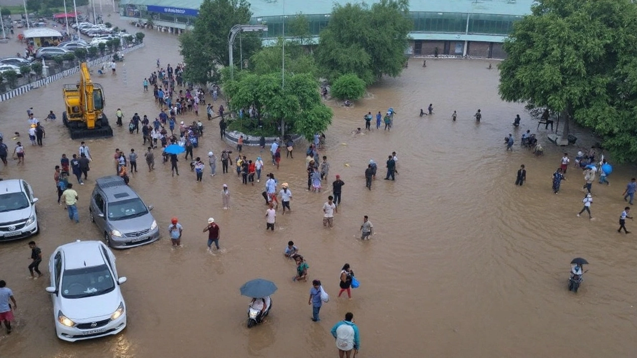
But it’s not just water from above. Runoff from hills can flood towns and fields miles away downstream. Every year, scenes of stranded vehicles and flooded farmlands show just how disruptive these systems can be. The IMD warns residents, farmers, and travelers to check local bulletins before heading out and to keep emergency plans handy. If the past few years are any guide, localized disruptions mean closed schools, suspended trains, and endless delays for just about everything.
The risk isn’t spread evenly. Urban areas with poor drainage struggle most during these heavy spells. In rural regions, swollen rivers have washed away roads and wiped out crops before. Right now, authorities are scrambling to clear drains, shore up weak bridges, and get warnings out—hoping to keep everyone a little safer when the rain starts falling in sheets.
The pressure system driving this surge isn’t unusual for September, but its intensity stands out. As climate patterns shift, it’s not rare to see one heavy rainfall episode overlap with another, compounding trouble fast. Farmers waiting to harvest late-season crops, migrant workers heading home, and city dwellers stuck in traffic will all be closely watching the skies and their phones for updates.
The IMD isn’t done yet—it’s strongly advising people in the affected zones to stay alert for new updates, keep emergency numbers on hand, and avoid risky travel. For now, it’s about bracing for impact and hoping the drainage is ready for whatever the clouds dump in the days ahead.