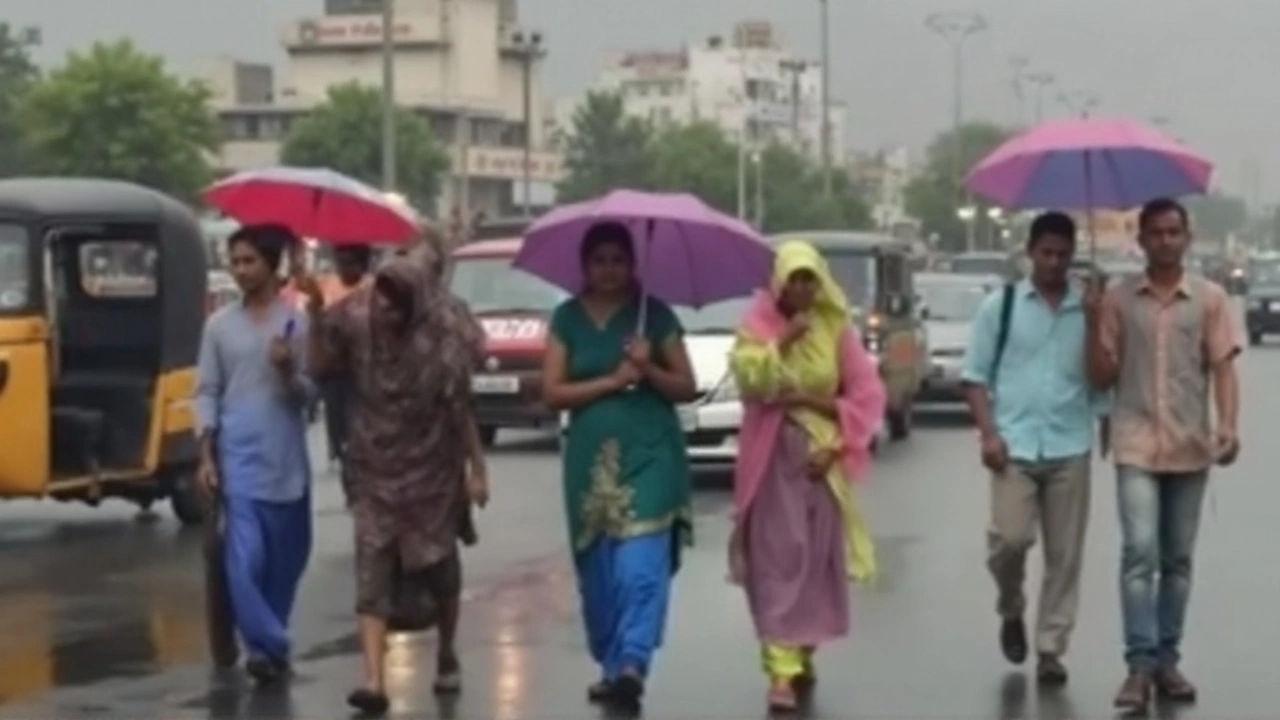
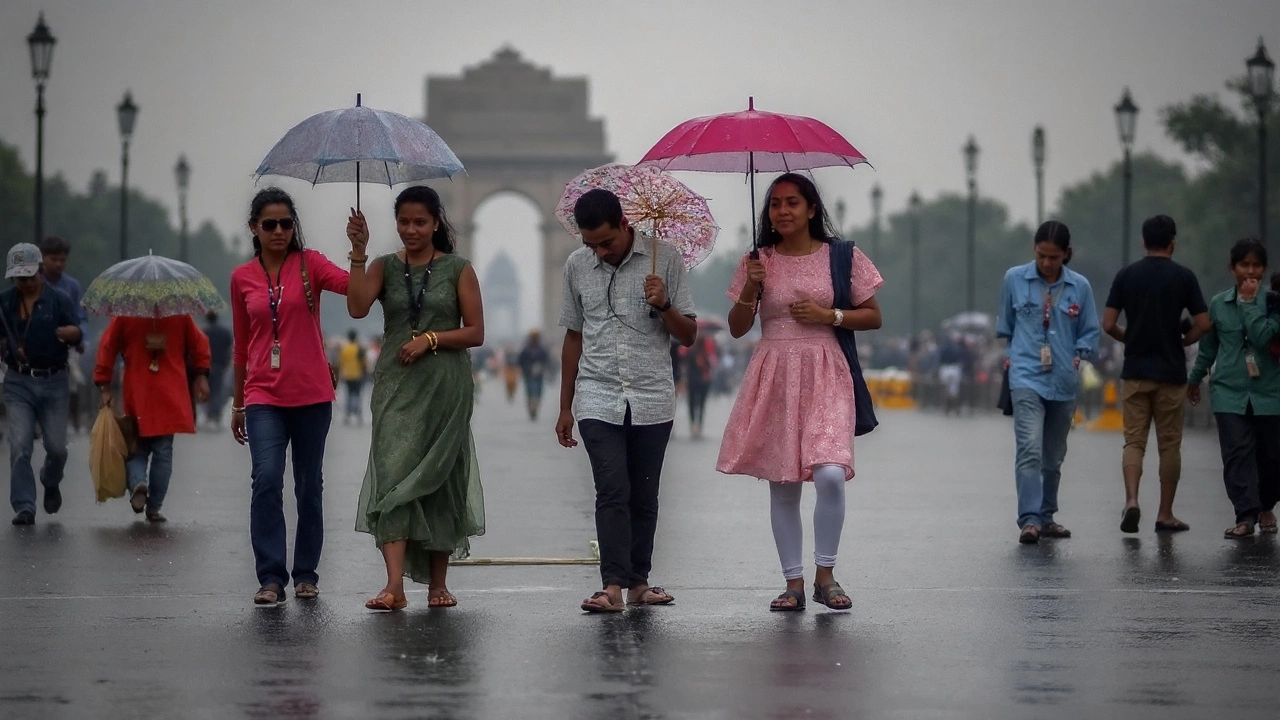
Bihar Weather Today: Heavy rain, strong winds and lightning warned in 7 districts

Severe monsoon burst targets seven Bihar districts today
Lightning is the weather danger most people underestimate—until the skies crack open. Bihar is bracing for a sharp spell this afternoon and evening as the India Meteorological Department issues a IMD alert for heavy to extremely heavy rain, strong winds, and frequent lightning across seven districts: Patna, Gaya, Nalanda, Rohtas, Aurangabad, Bhojpur, and Buxar.
Forecasters expect a quick build-up of clouds after midday, with the worst of the weather likely from late afternoon into late evening. Temperatures are set to hover between 26°C and 32°C (78.8°F to 89.6°F), but high humidity will make it feel warmer and more oppressive. Gusts could top 40–50 km/h, enough to snap weak branches, tilt tin roofs, and scatter hoardings. Short, intense bursts of rain may overwhelm drains, leading to waterlogging on key roads and low-lying neighborhoods.
Thunderstorms today carry a serious risk of cloud-to-ground lightning, especially over open fields, along riverbanks, and near water bodies. Visibility may drop suddenly in downpours, and slick roads raise the odds of skids and pile-ups. The IMD expects rapid deterioration rather than a slow ramp-up, which means conditions can go from manageable to hazardous in minutes.
The Bihar State Disaster Management Authority has mobilized emergency teams and put district administrations on a higher footing. Control rooms are active in all seven districts listed in the warning. Officials have advised people to stay indoors during peak storm hours, avoid non-essential travel, and track updates via the Damini lightning alert app and All India Radio bulletins. Power utilities have been told to prepare for local outages and to respond quickly to snapped lines and tripped feeders.
Senior IMD scientist Dr. Rajiv Kumar says the pattern fits the state’s August monsoon profile—Bihar usually sees rain on 8 to 15 days this month—but adds that today’s system is unusually intense. That means the familiar monsoon routine could come with sharper edges: faster waterlogging, stronger gusts, and more frequent lightning strikes than on a typical rainy day.
Waterlogging is the immediate worry for Patna’s central corridors and colonies along older drainage lines. In Gaya and Nalanda, narrow streets and roadside construction sites can pool water quickly. Bhojpur and Buxar sit along key river stretches, so authorities will watch river gauges for rapid rises after heavy upstream showers. In Rohtas and Aurangabad, hilly and semi-plateau terrain can funnel runoff into culverts and village access roads, cutting off movement for a few hours during peak rain.
Transport will be shaky. City buses may detour or run late if underpasses flood. Two-wheelers face the worst conditions: gusts, potholes hidden under water, and poor grip on diesel-slicked roads. Short-distance trains can slow or stack up behind caution signals in many parts of the state during intense rain, and station platforms may get crowded if services back up. Flyers should check with their airline before leaving for the airport—low clouds and lightning often ripple through flight schedules.
Farmers are being told to protect what they can. Heavy rain drowning low-lying paddy is a real risk. Agricultural officers are advising to open field channels where possible to drain excess water, postpone urea top-dressing and pesticide sprays until after the rain, move small livestock to higher ground, secure feed and seed sacks off the floor, and switch off pumps during thunderstorms to avoid electric shock. Plastic sheeting can save stored fodder from getting soaked, and temporary bunds may help around nursery beds.
For urban residents, the checklist is simple and practical: keep phones charged, keep torches handy, secure loose items on balconies and rooftops, and clear leaves from housing society drains. Avoid taking shelter under isolated trees during lightning. If you’re outside and a storm races in, get to a sturdy building or a fully enclosed vehicle. Inside the home, unplug non-essential appliances and avoid using wired devices while thunder rumbles overhead.
- Stay indoors during the afternoon-evening peak; postpone errands if you can.
- Do not wade through water where you can’t see the road—open manholes are a recurring hazard.
- Avoid elevated, open, metal-rich spots: rooftops, fields, water edges, and construction scaffolds.
- If thunder follows lightning in under 30 seconds, the storm is close—wait at least 30 minutes after the last thunder before heading out.
- Keep emergency numbers handy; report fallen wires and trees to local control rooms.
Hospitals and emergency services have been asked to plan for short power cuts and admit patients safely during downpours. Municipal bodies are pre-positioning pumps in known choke points and checking culverts for debris. Schools and offices have not announced blanket closures, but many institutions are expected to let people leave earlier if the sky turns dark by late afternoon.
This isn’t the first time an August system has put pressure on Bihar’s infrastructure. In August last year, a similar spell triggered localized flooding in parts of Patna, Gaya, and Bhojpur, with traffic stalled for hours and power cuts in several wards. The difference today could be the speed and intensity: forecasters say the storms may arrive in compact waves, with brief lulls in between that can be misleading.
What’s driving the turbulence? In late August, the monsoon trough often dips south and lines up moisture from the Bay of Bengal into the Indo-Gangetic plain. When a low-pressure area plugs into that moisture stream, it sets off thunderstorms that pulse through the afternoon and evening. Add daytime heating and high humidity, and you get exactly the unstable mix now building over the state.
District administrations say they are ready to move people from flood-prone pockets if needed. Preventive evacuations of a few vulnerable zones are already underway where drains are known to choke and backflow into lanes. Relief stocks like tarpaulins, drinking water cans, and dry ration kits have been placed at ward offices for quick distribution if neighborhoods get marooned for a few hours.
Power and communications are likely to be patchy during peak rain. If your area goes dark, avoid using generators in closed rooms—carbon monoxide can build up quickly. Keep one phone free for emergencies and use battery saver modes. If a live wire is suspected in a flooded lane, do not attempt to cross. Wait for the utility team to cordon off the area.
Road safety is going to be about patience. Maintain longer braking distances, avoid overtaking through standing water, and if the wipers can’t keep up, pull over at a safe, visible spot until the burst eases. Buses and trucks can push waves into small cars and two-wheelers; give them room. If you have to park outside, avoid trees and unstable hoardings.
Once the rain passes, the after-effects matter too. Stagnant water can bring a spike in mosquitoes. Clear containers, pots, and tyres that collect water around homes and keep gutters flowing. If your area floods regularly, elevate key appliances a few inches and move essential documents into waterproof sleeves.
The IMD will reassess the system in about 48 hours and may extend or scale back the warning based on how the trough evolves. For now, the guidance is simple: treat the afternoon sky with respect. Keep plans flexible, check updates often, and give yourself extra time to get home before the worst of the weather arrives.

District-wise snapshot and what to watch
Patna: Likely to see repeated spells with quick waterlogging on arterial roads. Expect detours and slow traffic near low underpasses and older drainage zones.
Gaya and Nalanda: Strong thunderheads late afternoon; visibility issues in downpours. Semi-urban roads and village approaches could turn slushy and rutted.
Rohtas and Aurangabad: Gusty winds plus steep runoff along hilly stretches; watch for treefalls and blocked culverts on inter-village roads.
Bhojpur and Buxar: Storm cells can flare along the river corridor; district teams will monitor river gauges and embankments for seepage after heavy bursts.
Residents across all seven districts are urged to keep an eye on official bulletins, use the Damini app for lightning proximity alerts, and rely on All India Radio for advisories if mobile networks slow down during peak use. If you live in a ground-floor unit in a flood-prone lane, move valuables to higher shelves now rather than later.
Monsoon days can turn on a dime. Today is one of those days. If you can, wrap up errands early and keep the evening indoors. The sky will do what it wants; the plan is to stay one step ahead of it.

