Weather forecast for August 28, 2025: Light rain in Delhi, heavy downpours for Jammu and Himachal
Northwest monsoon stays charged: Delhi gets relief, hills brace for deluges
Northwest India is running 23% wetter than normal this season, and the tap isn’t shutting anytime soon. The Weather forecast for Wednesday, August 28, points to light to moderate rain in Delhi-NCR and far tougher conditions building over the western Himalayas, where very heavy bursts are likely to kick in from late week.
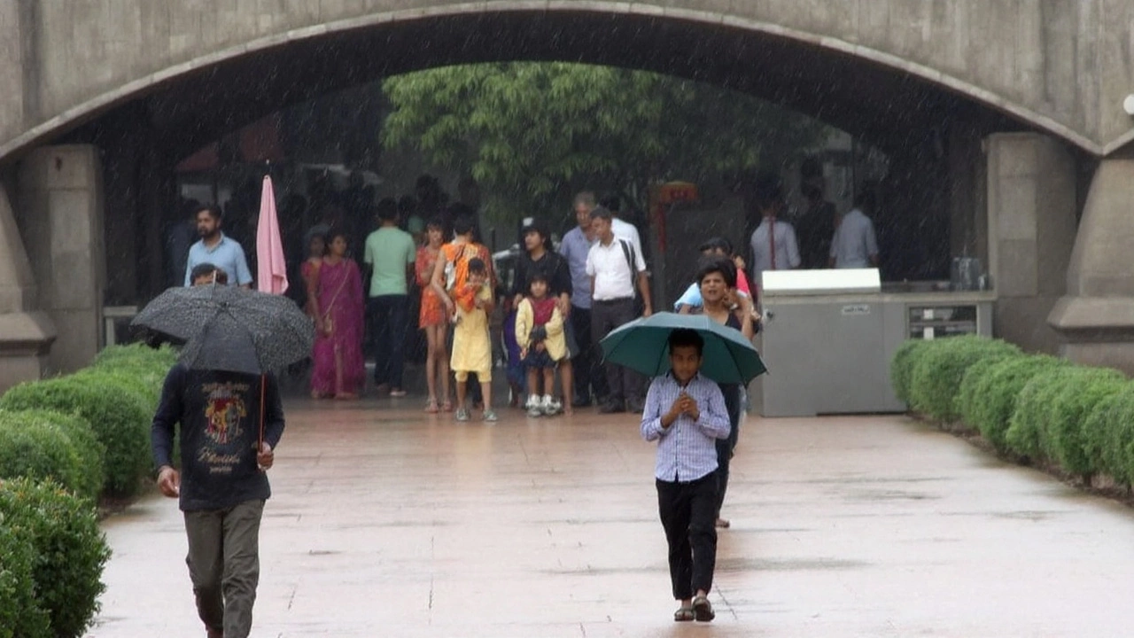
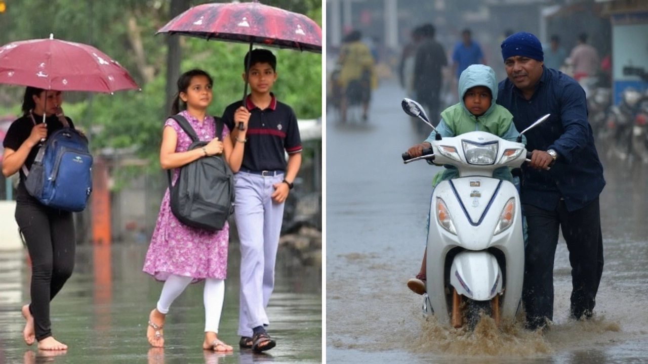
For the capital, expect on-and-off drizzles with short, moderate spells through the day. Cloud cover should cap afternoon highs near the low 30s Celsius and keep nights around 26°C. It will still feel muggy, but the rain should trim the harsh edge off the late-August heat.
The bigger worry sits over the hills. Jammu and Kashmir is staring at heavy to very heavy rain from August 29 through September 2—several days in a row. Himachal Pradesh turns active sooner, with widespread rain on August 28 that can get intense in pockets. The IMD also flags isolated very heavy falls for Uttarakhand on August 28–29 and again September 1–2, a classic setup for landslides and sudden stream surges.
Farther east, Kolkata stays wet and sticky—temperatures around 25.7°C to 30.7°C, humidity near 81%, and a high chance of rain with gusts near 22 km/h. Northeast India remains in play too: Arunachal Pradesh is primed for isolated heavy spells from August 28–30, while Assam and Meghalaya, along with neighboring states, can see heavy rain on August 28–29 and then again September 1–2.
State-by-state outlook, risks, and what to watch
- Delhi–NCR (Aug 28): Light to moderate rain with brief drizzles most of the day. Local waterlogging at usual choke points, slower morning and evening commutes, and patchy visibility under low clouds. Carry rain gear and allow extra travel time.
- Jammu & Kashmir (Aug 29–Sep 2): Heavy to very heavy rain in several districts over multiple days. Landslide and rockfall risk rises on mountain roads; watch for quick rises in streams and rivers like the Jhelum and Tawi. Avoid unnecessary travel to higher passes during peak hours of rain.
- Himachal Pradesh (Aug 28): Widespread rain with locally intense bursts. Slopes are saturated—keep distance from steep cuttings and active slide zones. Tributaries of the Beas and Sutlej could swell during afternoon and late-night bursts.
- Uttarakhand (Aug 28–29, Sep 1–2): Isolated very heavy falls possible, which is enough to trigger debris flows on fragile slopes. Pilgrims and trekkers should check local advisories before setting out, especially at dawn and after dark.
- Uttar Pradesh: West UP trends wetter Aug 31–Sep 2 with heavy rain possible; East UP turns heavy Sep 1–2. Expect thunderstorms, lightning, and short-duration downpours that can flood city underpasses and low-lying stretches.
- Bihar: Seasonal rainfall has been running deficient, but short bursts this week may help trim the gap. Rural belts could see useful showers for late paddy work; watch for field waterlogging after heavier spells.
- Rajasthan: East Rajasthan is set for a week-long rainy run from Aug 28, with isolated very heavy falls likely on Aug 31. West Rajasthan picks up Aug 30–31; thunderstorms and lightning are on the cards Aug 28–29. Urban flooding is possible in Jaipur-Kota belts during intense bursts.
- Northeast India: Arunachal Pradesh (Aug 28–30) and Assam–Meghalaya (Aug 28–29, Sep 1–2) face repeated heavy spells. Keep an eye on tributaries feeding the Brahmaputra; localized flooding and tree fall are possible under strong cells.
- Kolkata: Moderate rain in humid conditions, with breezy intervals. Expect slick roads, standing water in low-lying pockets, and slower commute times during peak showers.
Temperatures and humidity: Typical monsoon values hold across much of India—daytime highs near 33°C, nights around 26°C, and very humid air. Cloudy days can shave a degree or two off the maximum; sultry nights persist under thick moisture.
What heavy and very heavy mean: IMD categories put “heavy rain” roughly in the 64.5–115.5 mm/day range and “very heavy” at 115.6–204.4 mm/day. A few hours of intense rain inside those brackets is enough to trigger urban flooding, road closures, and slope failures in the hills.
Why the pattern is sticking: The monsoon trough remains active across the plains, with moisture streaming in from the Bay of Bengal. A cyclonic circulation over northwestern parts and frequent thunderstorm lines are sustaining daily rain windows. IMD forecasters are also watching for a fresh low-pressure area over the northwest Bay of Bengal by mid-September, a feature that can extend the wet phase into the Indo-Gangetic belt and central India.
Travel and safety pointers:
- Hills: Avoid narrow gorges, active slide zones, and riverbanks during and after heavy spells. Do not drive through rockfall areas at night.
- Cities: Expect waterlogging at underpasses and low stretches. Park on higher ground; keep vehicles away from open manholes and flooded basements.
- Lightning: Seek shelter indoors during thunder. Unplug sensitive electronics and avoid metal structures.
- Commuters: Check flight and train updates when heavy bands line up over Delhi, Chandigarh, Jammu, or Dehradun—knock-on delays are common.
- Farmers: In UP and Bihar, delay fertilizer top dressing and pesticide sprays until 24 hours after heavy rain. Stake tall crops to reduce lodging; clear field drains ahead of the heaviest spells.
What to monitor daily: Local district advisories for short, intense windows; river and reservoir levels in Himachal, Uttarakhand, and J&K; thunderstorm and lightning bulletins for Rajasthan and UP; and city flood control updates in Delhi-NCR and Kolkata.
The IMD will refine timings and intensity bands in fresh bulletins each morning and evening. As always during an active monsoon pulse, conditions can change fast—plan travel around the heaviest bands and keep alerts enabled on your phone.